MONTSENY
15,00€
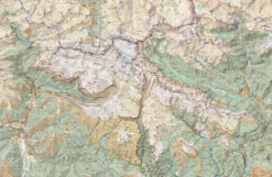
Folder with two maps
Edition: 2025-2026
Scale 1:25.000
•Scale 1:25.000
•Equidistant contours: 10 m distance
•Master contours: at 50 m
•Shady relief
•Compatible with GPS
•Marked routes
•Land use symbolized at three levels
15,00€
•Scale 1:25.000
•Equidistant contours: 10 m distance
•Master contours: at 50 m
•Shady relief
•Compatible with GPS
•Marked routes
•Land use symbolized at three levels

We use our own and third-party cookies to ensure the website works properly, measure usage, and improve our services. You can accept all cookies, reject non-essential cookies, or configure your preferences. Cookie policy
Required for the website to work correctly. They cannot be disabled from this panel.
Help measure site usage and improve its content.
Allow advertising, campaign measurement, or ad personalization.
Store preferences or enable non-essential external content.