Català
 Español
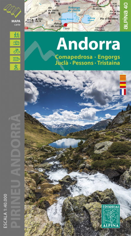


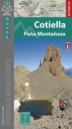
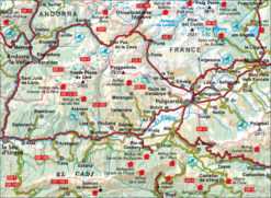
ANDORRA
12,00€
Hiking map + Folder
Scale 1:40.000
Edition: 2023 / 2024
•Hiking map + Folder
•Scale 1:40.000
•Equidistance contours: 20 m distance
•Master contours: at 100 m
•Shady relief
•Compatible with GPS
•Land use symbolized at three levels
•Folder with hikes, potholing, gully descent, climbing, mountain biking and all the facts of interest
Related products


Out of stock